Isochrones
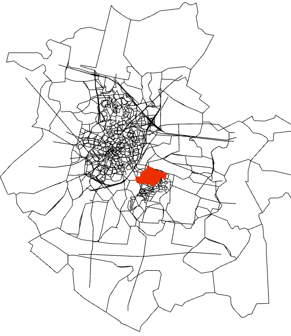
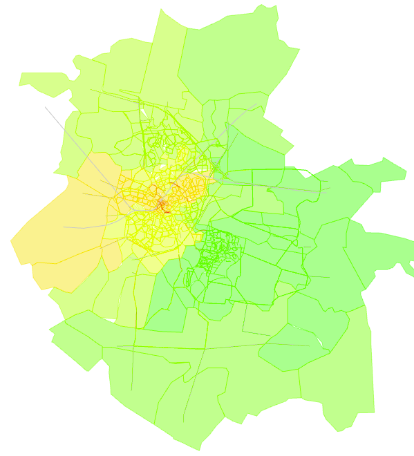
This tool provides one form of accessibility analysis plotting isochrones from or to one or more centroids or sections.
The isochrone tool sets up the analysis and stores the results in each object on the network using a new attribute. It also creates a View Mode to visualize the results. This View Mode and the associated View Styles can be subsequently edited to refine the visualization if needed.
Main Tab
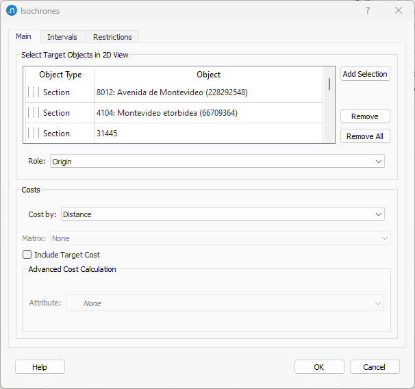
Target objects (centroids or sections) are added by selecting them in the main 2D view while this dialog is active. If selecting sections, select them in pairs to include the opposing carriage way else the return route to that section will be included. The target objects can be regarded as the Origin or Destination in the analysis.
Costs are calculated by:
- Distance: The network distance from (or to) the targets.
- Travel Time under Free-Flow Conditions.
- Skim Matrix: From a Skim matrix of travel costs generated by an earlier simulation or assignment. An option is presented to specify which matrix.
- Attribute: The calculation is made using a section and turn attribute. The source of the data, the replication, the classification by user class and lane can be specified.
Intervals folder
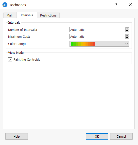
The Intervals tab allows you to set a fixed number of intervals, a maximum value for the calculation and a color scale. If a Maximum Cost is set, every object that is not reachable with less cost than this value will be considered as unreachable and therefore, grayed out. If the "Paint the Centroids" options is selected, the isochrone will color sections and centroids and their corresponding polygons.
Restrictions folder
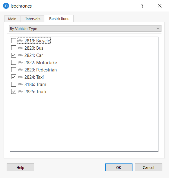
In the Restrictions tab, constraints regarding the use of specific vehicle types, road types or user classes can be set. Sections and turnings that do not comply with such restrictions will be not considered in the calculation.
Isochrone Display
